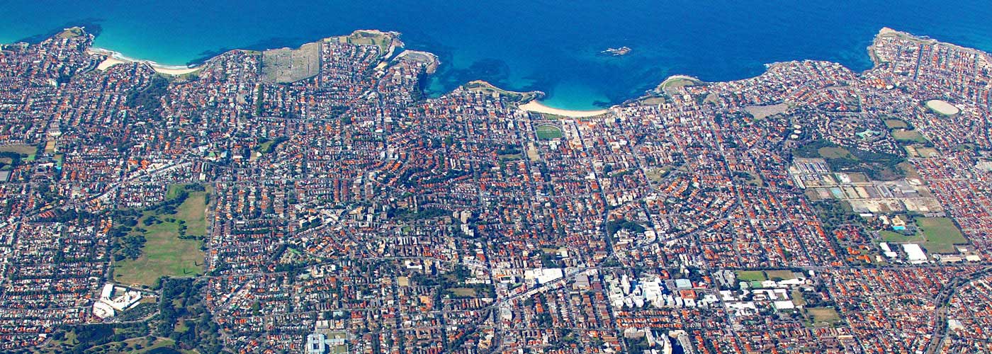
Maps
Click, zoom and pan around our sophisticated maps to see where Council works and upgrades are happening, view ward and precinct boundaries, and explore the area you live in.
-
Explore Randwick City Council
Search your property location by address e.g. 30 Frances Street, Randwick. The map provides a snap shot of your property details. -
Facilities
This map shows the location of facilities within Randwick City Council including the features and description of beaches, parks, Council and community facilities. -
Council Works
See current Randwick City Council construction and upgrade projects plotted on a map. -
Waste Zones & Pickup Dates
Every address in the Randwick area belongs in a specific waste collection zone, which determines the rubbish collection schedule. Find your waste zone on this map. -
Precincts
Explore a map of the Randwick area organised by community precinct. -
Councillors & Wards
Find out what ward you are in and which Councillors represent you by entering your address in this interactive map. -
Alcohol prohibited zones
Click, zoom and pan around our interactive map to find out where the alcohol prohibited zones are. -
Food safety ratings map
Scores on Doors is a NSW hygiene and food safety scoring program. Use this interactive map to find out which businesses have earned good to excellent ratings in Randwick City. -
Parking permit areas map
Find out where resident parking permit zones and areas are using our interactive map. -
Significant Tree Register
Click, zoom and pan our interactive map to find our trees recognised for their heritage, cultural, social, ecological, or outstanding visual significance. -
South Coogee to Kingsford Trees
The South Coogee to Kingsford walking and cycling improvements will include new trees, garden beds, separated cycleway, footpaths and pedestrian crossings to enhance the amenity of the local streets. -
Coastal Walkway
Enjoy spectacular views along our Coastal Walkway. One of Australia's most popular attractions. -
Bushcare Location Map
Find out where and when our bushcare groups run with our interactive map. -
Off-leash dog parks map
This map shows the location of off-leash dog parks within Randwick City Council. -
Mobility parking spaces map
We provide a number of "Mobility Impaired Person's Parking Spaces" (MIPPS). Find out where the are located. -
NRL Map
Find out if you're in Sydney Roosters or South Sydney Rabbitohs territory with this fun interactive map based on the official NRL boundaries.
Last Updated: 25 October 2022
